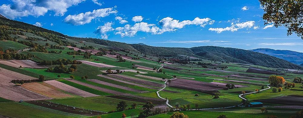
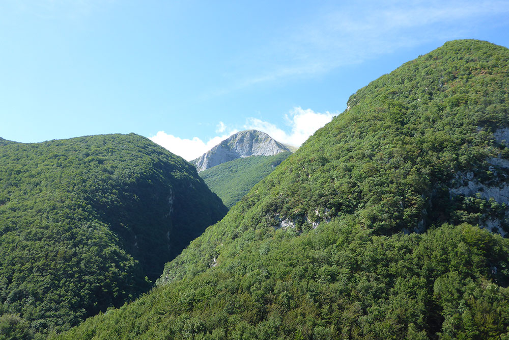
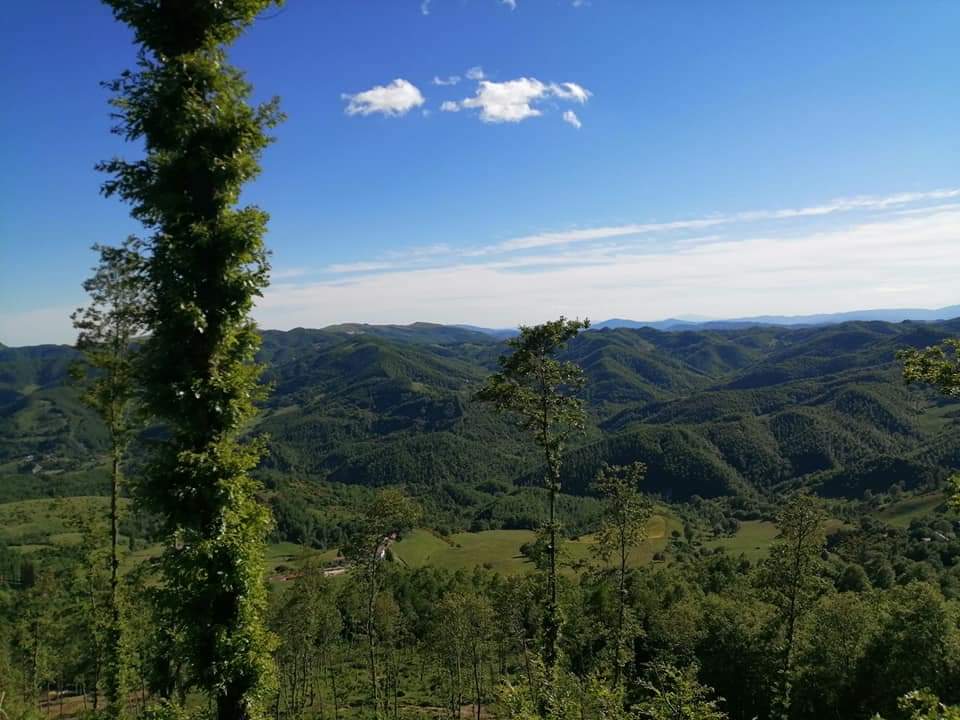
The ridge of the Umbrian – Marche Apennines, which winds from Pietralunga to Nocera Umbra, with its mountainous reliefs, at times seeming gentle and rounded and at times harsh and steep, has been shaped by the continuous erosion of water, over millions of years. It is covered with forests of oak, hornbeam and beech and has meadows dotted with flowers. These areas are a treasure trove of nature’s riches and have a biodiversity of immense value. On this idyllic route we are going to undertake a journey through this terrain, which is so rich environmentally.
Let us start from the Pietralunga area, with its marl and sandstone reliefs. This is the perfect environment for the development of immense broad-leaved woods containing oak, downy oak, turkey oak, hornbeam, elm, ash, maple and chestnut. The state-owned forests of Pietralunga extend around the medieval village of Pietralunga, extending northwards to the Alpe della Luna. To the west they reach for the Tiber Valley, and to the east they lap the Serra di Burano and the rugged limestone peaks of Monte Nerone. The importance of these forests, both ecologically and as a natural resource, is evidenced by the fact that the Umbria Region has established two SIC (Sites of Community Interest) here: the Special Conservation Areas “Boschi di Pietralunga” covering a surface area of 1487 hectares and the “Boschi dei Monti Rosso and Sodolungo” covering 2597 hectares. The Pietralunga area is rich in other features such as the Candeleto natural green oasis: a protected wide and varied area, which extends for about 1000 hectares on the hillside of Candeleto, between the valleys of the Carpina and Carpinella streams.
The top of the hill, dominated by Monte Croce (735 m above sea level), is covered by vast black pine forests, with the presence of firs and scots pine, the result of reforestation carried out at the beginning of the century and which give the landscape an alpine appearance. The “Silvio Bambini” Ornithological Museum is located in the Oasis of Candeleto, in the former barracks of the State Forestry Corps, which presents a wonderful collection of 280 birds and 40 stuffed mammals. The undisputed rulers of this forest are the rodents: the squirrel, always greedy for pine nuts, the dormouse and the hazel mouse. Here the fox and the wild boar, the badger and the porcupine, all coexist, while magpies and jays fly cautiously from branch to branch, and the kestrel, during the day, and the owl, at night, guard the sky.
The Carpina Valley is an area of particular natural interest set between the Upper Tiber Valley and the Umbrian-Marche Apennine ridge. It is a drainage basin of 130 sq km. where the Carpina stream and its main tributary, the Carpinella, create an evocative and wild territory, largely covered by dense forests of turkey oak and downy oak. The natural green oasis of Varrea: a protected area consisting of over nine hundred hectares of uninterrupted oak and beech woods that cover the slopes of three deep valleys, forming a natural refuge for a small pack of wolves that give their name to the wonderful path that crosses it: The Rings of the Wolf. The summit area, characterised by heavily eroded slopes, with outcropping bare rock (which in some places forms suggestive “calanchi”, or deep furrows) constitutes an exceptional balcony on the adjacent mountain ranges: Serre di Burano, Monte Nerone, Monte Catria and Monte Cucco. Continuing our journey south we meet the Serre di Burano, a regular plain with an altitude of about 1000 m asl oriented from North-West to South-East, consisting of sandstone and marly clays which constitutes the political-administrative border between the Marche and Umbria. The Serre are characterised by pastures, moors and ferns, the result of ancient deforestation. The area is of great floral interest due to the existence of moorlands consisting of a variety of heather which finds its southernmost location here in Europe. (Calluna Vulgaris)
Our journey continues towards Gubbio where we meet the Bottaccione Gorge also known as the Iridium Gorge, a very important geological site of global significance. The Bottaccione Gorge was dug by the Camignano stream which cut through the limestone rocks formed by gradual sedimentation in relatively calm waters over the course of 50 million years, from the Upper Cretaceous to the Lower Eocene, 95 to 45 million Years ago.
The rocks at Bottaccione contain a small layer of clay dating back to about 66 million years ago, between the Mesozoic and the Cenozoic eras, at a time when the area was dominated by large reptiles. This small layer corresponds to the great mass extinction that caused the disappearance of 75% of all living species, during which the dinosaurs also became extinct.
In 1980, Walter and Luis Alvarez, scientists from the University of California, published the results of their investigations into the Bottaccione rocks in a prestigious scientific journal, stating that the cause of the extinction that occurred on the border between the Cretaceous and Paleogene eras is due to ‘extraterrestrial’ causes. In fact, the thin layer of reddish clay, of about 1cm, whose age coincides with the extinction, has a high concentration of iridium. This element is very rare on Earth, but present in extraterrestrial rocky bodies such as meteorites. According to this theory, a huge asteroid of around 10 km in diameter hit the Earth about 66 million years ago, causing a series of climatic upheavals that were fatal to many living species and also emitting a significant amount of iridium into the atmosphere. In the 1990s, evidence of this impact was discovered in the Gulf of Mexico facing the Yucatan Peninsula: a huge crater that was called Chicxulub. Radiometric dating carried out on site show that this underwater crater, with a diameter between 180 and 300 km, was formed about 66 million years ago. This was confirmed by the discovery of myriads of small glassy spherules probably deriving from molten rocks projected into the atmosphere at the time of the collision, which were also found in the rocks of Gubbio.
From the Bottaccione Gorge, continuing in the direction of Scheggia, we come across many types of rocks formed over the last 90 million years: Scaglia Rossa, Scaglia Variegata and Scaglia Cinerea, on up to the Marl-Sandstone rocks formed 11 million years ago that we find at Madonna della Cima and in the valley that descends to Scheggia. From this point in time the formation of the Umbrian mountain ridges as we see them today, began. From Scheggia we enter the Monte Cucco Park along the Sentino Valley, which was carved out in the limestone rocks by water torrents and so we reach the Geosite of the ammonites of Ponte Calcara where we find the layers of red ammonite and carnelian. This deposit is known throughout the world and has been studied since the nineteenth century for the abundance of fossil remains of these ammonites, extinct molluscs related to the Nautilus, dating back to a time interval ranging from 184 to 180 million years ago. The quality of ammonites present in these rock strata is quite extraordinary. The fossils of ammonites are stone footprints of molluscs that lived in very distant geological eras, they constitute an immense and fascinating spectacle of nature. The typical red colour of these fossils is due to the high content of iron oxides. It is estimated that only 4 metres of sediment accumulated over a period of one million years.
We have now reached the heart of the Monte Cucco Regional Park which includes the territory of the municipalities of Scheggia and Pascelupo, Costacciaro, Sigillo and Fossato di Vico, located on the north-eastern border of Umbria, delineated by the ridge of the Apennine mountains on which stands Monte Cucco (1,566 metres asl), the historical route of the Via Flaminia, and by the rivers of Sentino and Chiascio.
The landscape offered by the Monte Cucco massif has a varied form: closed valleys chasing each other with spires, pinnacles and terraces, with gullies and gorges, the ancient ravines that make it harsh but also with soft, gentle slopes with basins and cultivated valleys.
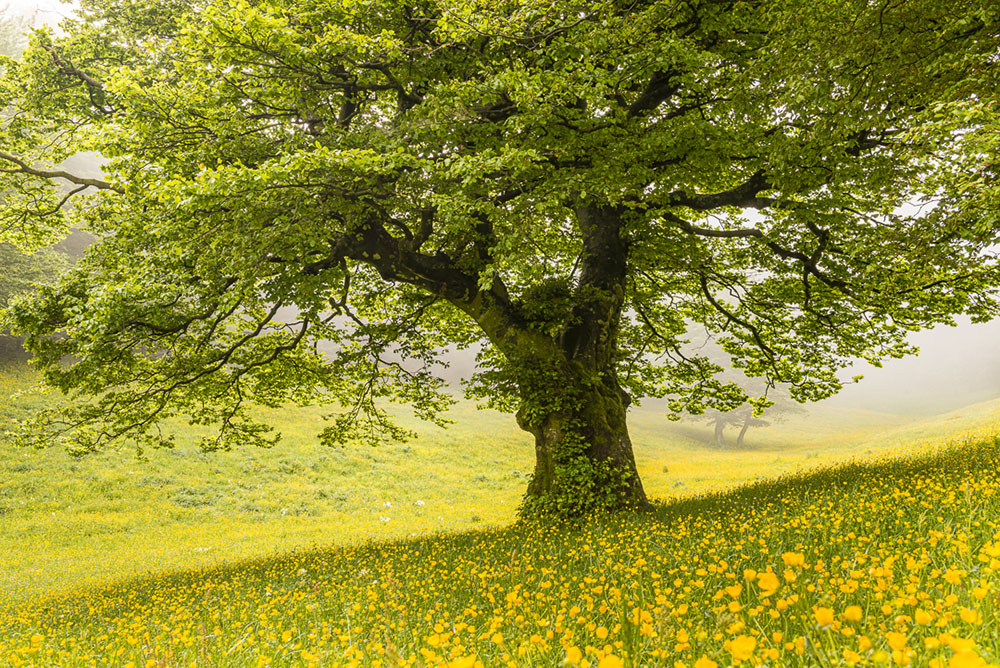
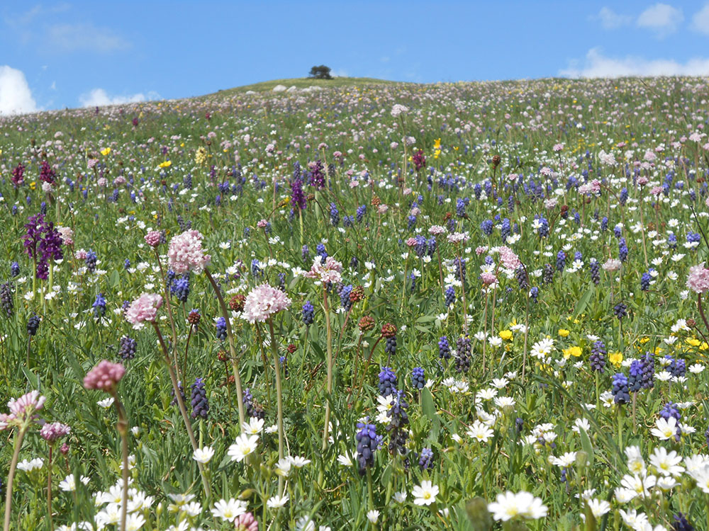
In this superb natural environment, with its evocative woodlands centuries-old beech trees (Fagus Sylvatica) with towering trunks alternate with holm oaks (Quercus Ilex) that dominate cliffs and limestone walls. Magnificent specimens of Holly (Ilex Aquifolium) grow under the beech trees and on the grassland prairies. The foliage of the beech trees allows the light to filter through and offers protection. As a result, the shrub and herbaceous strata includes a greater number of species. Under the beech woods there are many small flowers: violets, cyclamen, primroses, anemones, snowdrops and wild strawberries. The large meadows, which open up onto the highest peaks, welcome purple and yellow narcissus and crocuses, but also delightful dog roses, orchids and forget-me-nots.
The life that populates this scene of diverse ancient environments is represented by a remarkable biodiversity index: the predatory wolf, foxes together with badgers, stone martens and weasels; squirrels, dormice and hazel mice; and many birds including the rock partridges of the highest peaks and the golden eagle, the buzzard and the peregrine falcon. It is the territory of groundwater, of clear and oxygenated uncontaminated watercourses and springs, which are shaded by willows, hazelnut trees and mountain elm and which are home to brown trout and crayfish. Of the waterways one cannot fail to mention the one that is perhaps the most important of all: the Scirca stream. It originates deep in the heart of Monte Cucco, like most of the surface water network. It originates at 576 m. and its waters are captured to supply the Aqueduct of Villa Scirca, one of the largest aqueducts in Umbria, which with its maximum flow of 115 litres per second supplies the city of Perugia, as well as the municipalities of Sigillo and Costacciaro.
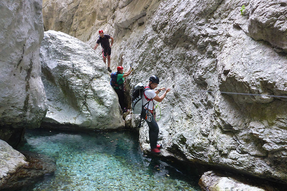
The Monte Cucco Massif is one of the few Apennine areas that has a perennial stream, Rio Freddo, at high altitudes. The slow and inexorable work of the watercourse has meant that the rocks have been cut from top to bottom for kilometres along their length and for a depth of up to 200 m. Between its high walls the Rio Freddo gives rise to waterfalls, rapids, pools of clear water, and very narrow meanders where the sunlight barely filters. In the Gorge the landscape is primordial and each step requires careful preparation, equipment and the accompaniment of the expert guides of Monte Cucco.
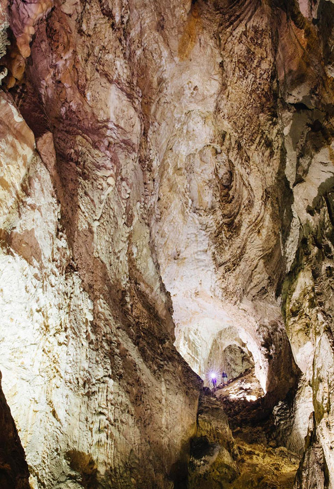
Monte Cucco is also internationally known for its Caves, the most impressive karst phenomenon, with its vast underground system that extends for over 30 km, reaching a maximum depth of 923 m.
The main access, with a 27 metre depth equipped with a safety ladder, allows you to reach a series of huge halls in quick succession: the “Cattedrale”, the “Sala Margherita”, the “Giardino di Pietra”, the “Sala del Becco”,the “ Sala delle Fontane”, the “Condotte Termali, the “Sala Terminale”, with the opportunity to admire the spectacular stalactite and stalagmite formations, astonishing and imposing, where for hundreds of thousands of years each drop of water has repeatedly deposited crystals and white stalactite and stalagmite flows.
Continuing our journey south we meet the mountains of Gualdo Tadino characterised by a remarkable natural and environmental legacy, consisting of woods and pine forests, the result of reforestation in the last century, large expanses of perennial meadows that give life to evocative multicoloured blooms and the panoramic peaks protected by the SIC Area (Sites of Community Importance) Monti Maggio and Nero. The most beautiful and significant peaks are Monte Maggio (m. 1361), Monte Serrasanta (m. 1348), Monte Penna (m. 1432). Between Monti Maggio and Serrasanta is the Valsorda (1006 m), a valley that takes its name from the absence of any echo. It represents the most famous location in the Gualdese mountains, where it is possible to undertake not only hiking and trekking, but also horse riding, cross-country skiing, mountain biking and gliding. On the crests of the Apennines of Gualdo Tadino our gaze sweeps across from Monte Catria, Monte Cucco up to the Sibillini mountains and comes to rest on fascinating villages in the foothills and, on clear days, the Adriatic Sea.
From the splendid Valsorda it is possible to reach the surrounding peaks along ancient paths and sheep tracks, reaching one of its historical jewels such as the Sanctuary of the Saint Trinità al Serrasanta, built on the ruins of an ancient Benedictine hermitage, from which you can enjoy an enchanting view over the valley of the Via Flaminia. The nature here is bountiful: there are dozens of typical plant species, including many very rare varieties of wild orchids, lilies and narcissus, whose flowering is particularly spectacular from May to June, when the meadows are coloured in the most varied manner.
The area is rich in springs of very fresh waters, the most famous mineral water, is from the Rocchetta spring, named for its source, that flows from the Gualdese mountain in the Fonno Valley. Other springs in the area are the Capodacqua spring near which stood the ancient hermitage of Saints Gervasio and Protasio. Another important source is that of Santo Marzio which feeds the city aqueduct.
Our idyllic journey through the Apennines of north – east Umbria is coming to an end. We head south again towards Nocera Umbra, a splendid medieval village surrounded by a natural environment of great value. We reach Monte Alago, a plateau 4 km away from Nocera Umbra and located at m. 946 a.s.l . Its name derives from the presence of an ancient lake which, over the centuries, has dried up leaving room for the current meadowlands. The surrounding natural environment is interesting, and rich in Mediterranean vegetation. To the north east of the mountain, stands the summit of Monte Burella (1095 m a.s.l.), a beautiful natural balcony over the Apennines. It is an Umbrian placename from the root “POR” which means height. On its summit there was probably once a sacred area and today its traces and scattered finds still remain. Overlooking Nocera Umbra we find the imposing Monte Pennino (m. 1570 a.s.l.). In ancient times it was the ultimate sacred mountain and was dedicated to the god Pen, the Celtic divinity who gave his name to the Apennine mountain range. On its top there was a large sacred area, a place of worship for local populations in both Celtic and Roman times. From its slopes near the hamlet of Bagnara gushes the water source that gives rise to the Topino river, and from here it flows to the Bagnara aqueduct which supplies the city of Perugia. Nocera Umbra is known as “the city of waters” for the large number of springs that flow from Monte Pennino and which also have healing properties that have been recognised for centuries. Even St. Francis, in 1226, a few weeks before his death, was at the hermitage of the “Romita” near Nocera Umbra, to be treated by the healing waters of the “Angelica spring”.

